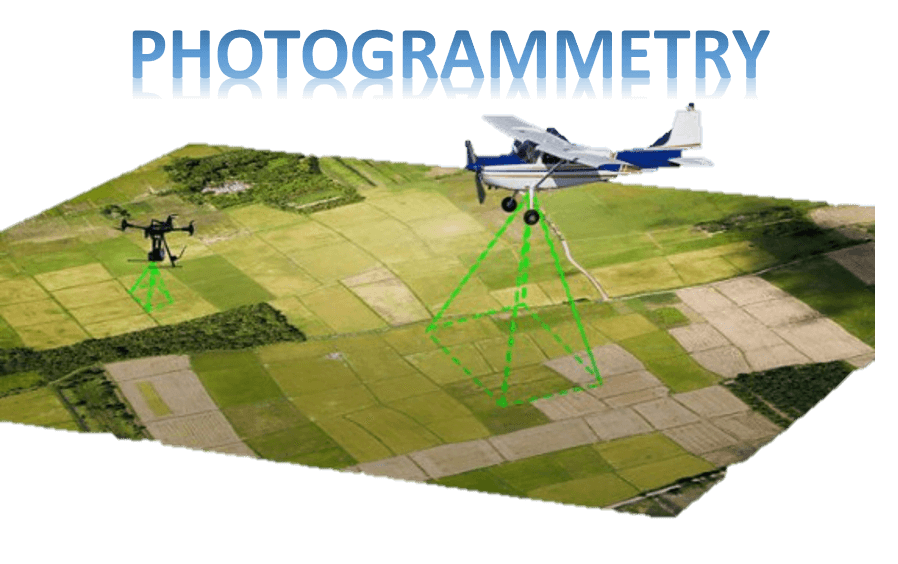
Photogrammetry can be defined as the art and science of obtaining authentic information about physical objects and the environment through action of recording, measuring, and interpreting photographic images and patterns of recorded radiant electromagnetic energy and other phenomena.
Photogrammetry and remote sensing are two interconnected fields. The main difference between photogrammetry and remote sensing is in the application. The photogrammetrists produce maps and precise three-dimensional positions of points whereas remote sensing specialists analyze and interpret images for deriving details about the earth, land and water areas.
Photogrammetry is essentially concerned with making accurate measurements of 3-D objects and terrain features from 2-D photographs. Photogrammetry services are commonly applied in the areas of architecture, engineering, industry, forensic, underwater, geology, medicine and various other fields for the production of precise 3D data.

Interesting
excellent
good
It is nice way to recall terminologies.
It is very useful.