GIS Trivia
Welcome to the main event of DAY-2 of the Virtual GIS Week Celebration 2021. GIS Trivia is an amusing game, that challenges your general knowledge while creating an engaging atmosphere.…
7 Comments
November 16, 2021

Welcome to the main event of DAY-2 of the Virtual GIS Week Celebration 2021. GIS Trivia is an amusing game, that challenges your general knowledge while creating an engaging atmosphere.…

Remote Sensing means acquisition of information about an object or phenomenon without making physical/direct contact with the object and thus in contrast to on-site observation, especially the Earth. Every 12th…

Something is fascinating about visualizing our world from the top when the sun goes down! In the daytime, our big blue marble is land, oceans, and clouds. But the night…
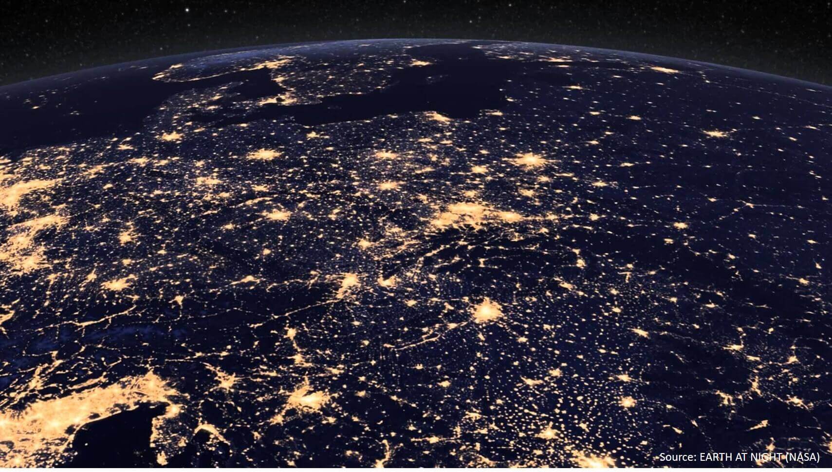
There’s a lot to be explored about our planet “Earth” when the sun sets, and the lights are turned on. Seeing from space, our planet comes alive with those glittering…

Welcome to the Day - 5 event of the Virtual GIS Week celebration 2020. Are you good at identifying the place from the image? Put your mind at work &…

GIS DAY QUIZ! Greetings of the day! GIS Day can’t be celebrated without a quick quiz! Agreed? We dare you to score as high as you can, and you got…

Crossword Welcome to the main event of DAY-2 Virtual GIS Week Celebration 2020. Do you think you are a true Crossword expert? Take this crossword quiz and prove it. Here…

Greetings of the day! We are back with the fun learning quiz. This time, as promised, the theme of the quiz is "Cartography". We have prepared various questions to answer…

What is GIS? GIS stands for “Geographic Information System”. It is a set of computer tools that allows to work with data that are tied to a particular location on…

Oceanography is the study of the physical, chemical, and biological features of the ocean, including the ocean's ancient history, its current condition, and its future. Remote sensing of coastal oceanography…